Huliyurdurga - History, Timings & Entry Fee
![]() Adventure / Trekking
Adventure / Trekking
 #74 of 93 Places to Visit in Bangalore
 Distance (From Bangalore): 93 Kms
 Trip Duration (Including Travel): 4 Hours/Half Day
 Place Location: Near Kunigal
 Transportation Options: + Walk/Trek
 Travel Tips: None
At a distance of 24 km from Kunigal, and 93 km from Bangalore, Huliyurdurga Fort is an ancient fort situated at Huliyurdurga village in Kunigal taluk of Karnataka. It is one of the top places for hiking near Bangalore.
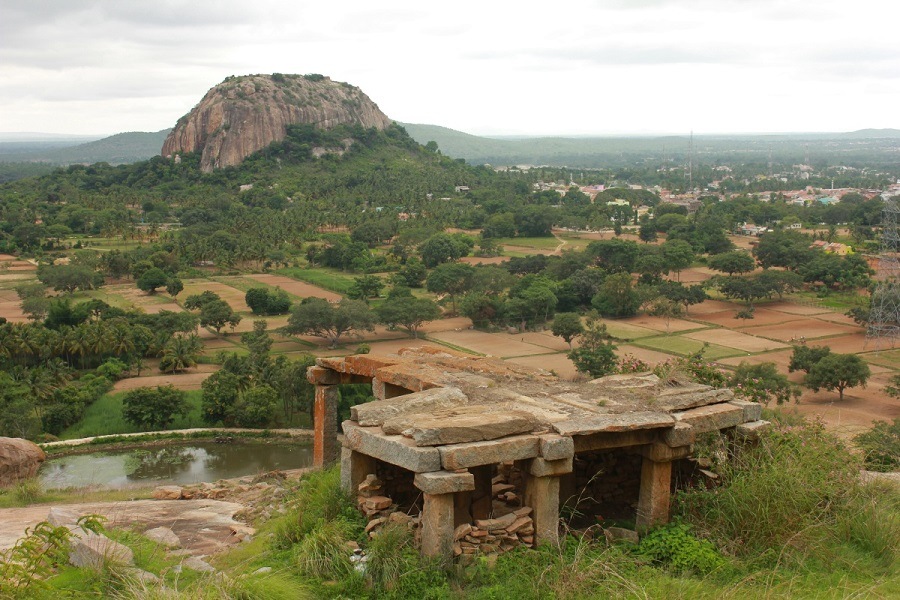
Huliyurdurga is part of the Navadurgas, situated on the outskirts of Bangalore. They are Savandurga, Nandidurga, Devarayanadurga, Hutridurga, Channarayanadurga, Kabbaldurga, Makalidurga, Huliyurdurga and Byravadurga. Huli means Tiger and Durga means fort in Kannada. Legends say that tigers used to roam and rule this area during the 16th century. However, locals call this hill Kumbi Betta (Inverted clay pot) due to its peculiar shape of an inverted cup.
The fortification of the hill is about 845 m above sea level and was said to have been erected by Kempe Gowda, the founder of Bengaluru. The fort later came under the rulers Chikka Devaraya Wodeyar, Hyder Ali, and Tippu Sultan in turn, after which finally in 1792 the Marathas and the British together laid siege to the fort. There are a few ancient temples at the base of the hill believed to have been built during the reign of the Wodeyars. This place is surrounded by thick forests and is a perfect trek for a challenging adventure.
This 3 km trail starts from the base of the hill and takes 2 hours. From the base, steps are laid up till the temple of Lord Sri Kumbhi Ganapathi and it was an easy climb. The main climb started after this temple. There were multiple arrows pointing in 3 directions! The path on the temple's left and right led us to nowhere while the remaining path was the vertical climb over rocks. The arrows drawn pointed to that direction!
Many people abandon the trail from here and do not go further up. Standing in front of the huge rock face, you may ask - is this the right way? Well, it is! This vertical rock face is the only option to continue on the trail. It is about 12 feet to push up. The gaps in the stone and the trees provided some support to maintain balance while climbing. The initial climb is a narrow stretch of rock and mud. Soon you enter a narrower hole before the path opens into a wider area. Now, one has to climb over a rock which eventually leads to the top section of the fort. The uppermost tier of the fort had the ruins of a few buildings, springs (water ponds), a durbar hall, granaries, etc.
The descent back to the parking space will be the same route that you had taken to climb up. You will be down in 20 minutes if you have a relaxed pace. Be careful again on the rock patch. It looks scary to descend. With your hands and legs on the rock, use all your fours and get down.
Timings: 6 AM - 5 PM
Entry: Free


